


The state-owned Oil and Natural Gas Corporation (ONGC) recently discovered two significant natural gas reserves in the Mahanadi basin block in the Bay of Bengal.
About Mahanadi River Basin:
- It is the 8th largest river basin in the country, with a total catchment area of 139681.51 sq. km, which is nearly 4.28% of the total geographical area of the country.
- The catchment area of the basin extends over major parts of Chhattisgarh and Odisha and comparatively smaller portions of Jharkhand, Maharashtra, and Madhya Pradesh.
- The basin has a maximum length and width of 587 km and 400 km, respectively.
- It is bounded by the Central India hills on the north, by the Eastern Ghats on the south and east, and by the Maikala range on the west.
- Physiographically, the basin can be divided into four regions, namely, the northern plateau, the Eastern Ghats, the coastal plain, and the erosional plains of central table land.
- The first two are hilly regions.
- The coastal plain is the delta area, which is highly fertile.
- The central tableland is the central interior region of the basin, traversed by the river and its tributaries.
- The basin receives about 90% of its rainfall during the monsoon season.
- The major part of the basin is covered with agricultural land, accounting for 54.27% of the total area, and 4.45% of the basin is covered by water bodies.
- The main soil types found in the basin are red and yellow soils.
Key Facts about Mahanadi River:
- It is one of the major east-flowing peninsular rivers in India.
- Origin: The river originates from the Sihawa range of hills in the Dhamtari district of Chhattisgarh state.
- It ranks second to the Godavari River among the peninsular rivers in respect of water potential.
- The total length of the river from origin to its outfall into Bay of Bengal is 851 km of which 357 km lies in Chhattisgarh and 494 km in Odisha.
- Tributaries: The Seonath, the Hasdeo, the Mand, and the Ib join Mahanadi from left, whereas the Ong, the Tel, and the Jonk join it from right.
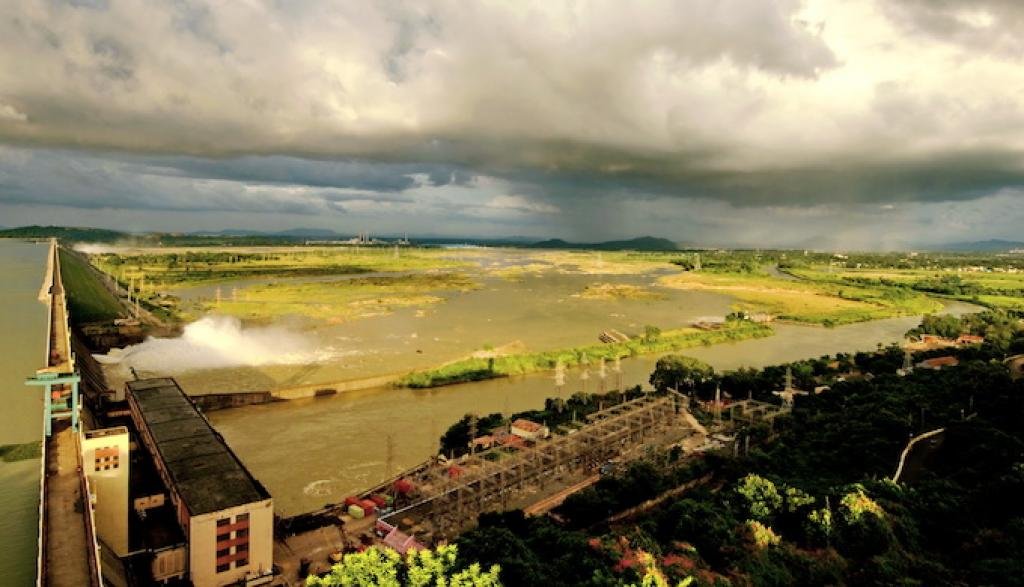
- Hirakud Dam: The Hirakud Dam, the world’s longest earthen dam (26km), is constructed across the Mahanadi River, about 15 km from Sambalpur in Odisha.
- Chilika Lake: Chilika, named wetland of international importance under the Ramsar Convention, gets 61% of its inland flow from the Mahanadi River system, mainly from its distributaries, Daya and Bhargabi.