
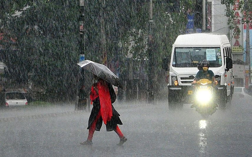


Why in News?
- Developed in the Arabian Sea, cyclone Biparjoy is heading towards the northern Gujarat coast, with landfall expected on June 15.
What’s in Today’s Article?
- About Tropical Cyclone (Meaning, Characteristics, Classification, etc.)
- About Extratropical Cyclone (Meaning, Formation, etc.)
About Tropical Cyclone:
- Tropical Cyclone is a weather phenomenon.
- A tropical cyclone is formed only over warm ocean waters near the equator.
- Warm, moist air rises up and away from the ocean surface, creating an area of low pressure.
- It causes the air from surrounding areas with higher pressure to move towards the low-pressure area.
- This leads to warming up of air and causes it to rise above.
- As the air rises & cools, the water in the air forms clouds.
- This complete system of clouds and wind spins & grows, along with the ocean’s heat.
- As the wind rotation speed increases, an eye gets formed in the middle.
What is an Extratropical Cyclone?
- Extratropical cyclones are low-pressure areas which are generally formed outside the tropics with a latitude range between 30 degrees and 60 degrees.
- They are also known as temperate cyclones.
- These low-pressure systems are associated with cold fronts, warm fronts, and occluded fronts.
How an Extratropical Cyclone is Formed?

- In the Northern hemisphere, cold air blows from the north of the front and warm air blows from the south.
- When the pressure descents along the front, the cold air move towards the south, and the warm air moves northwards setting in motion an anticlockwise cyclonic circulation.
- The cyclonic circulation results in a well-built extratropical cyclone, with a cold front and a warm front.
- There are pockets of warm air compressed between the forward and the rear cold air.
- The warm air climbs over the cold air and a series of clouds appear over the sky ahead of the warm front and cause rainfall.
- The cold front approaches the warm air from behind and pushes the warm air up.
- As an outcome, cumulus clouds develop along the cold front.
- The cold front moves faster than the warm front eventually surpassing the warm front.
- The warm air is entirely lifted and the front is occluded and the cyclone dissipates.
- They can originate over the land and sea and cover a larger area.