


The National Green Tribunal (NGT) has served notices to Karnataka, Tamil Nadu and Kerala governments, based on a report by the Indian Institute of Science (IISc) that has highlighted the massive reduction of green cover in the Cauvery basin over the past five decades.
About Cauvery basin:
- It extends over states of Tamil Nadu, Karnataka, Kerala and Union Territory of Puducherry.
- It is bounded by the Western Ghats on the west, by the Eastern Ghats on the east and the south, and by the ridges separating it from Krishna basin and Pennar basin on the north.
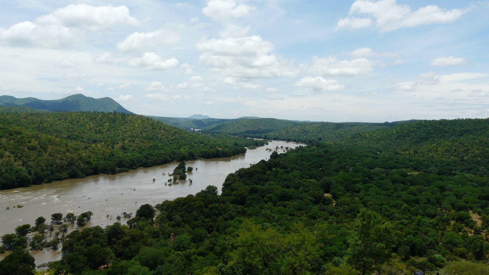
- The Cauvery River is one of the major rivers of the peninsula.
- Origin: It rises at an elevation of 1,341 m at Talakaveri on the Brahmagiri range near Cherangala village of Kodagu district of Karnataka.
- The river drains into the Bay of Bengal at Poompuhar in the Mayiladuthurai district of Tamil Nadu.
- Major left bank tributaries: Harangi, the Hemavati, the Shimsha and the Arkavati.
- Major right bank tributaries: Lakshmantirtha, the Kabbani, the Suvarnavati, the Bhavani, the Noyil and the Amaravati.
- The basin can be divided into three parts – the Western Ghats, the Plateau of Mysore and the Delta.
- The delta area is the most fertile tract in the basin.
- The principal soil types found in the basin are black soils, red soils, laterites, alluvial soils, forest soils and mixed soils. Red soils occupy large areas in the basin. Alluvial soils are found in the delta areas.
- National Parks in this basin: Bandipur National Park, Nagarhole National Park and Bannerghatta National Park.